Why in news?
With the recent launch of ISRO's 100th satellite, it is imperative to know the strengths and track its progress over the years.
Institution building is a key to great power making
What is the recent launch?
How has ISRO evolved?
What are its strengths?
What were the challenges?
Source: Financial Express
Quick Fact
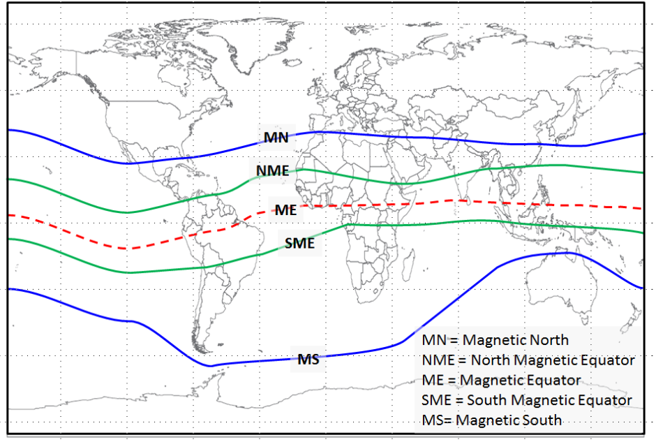
Thumba
Magnetic Equator